
Redmond ZIP Coverage at a Glance
Four ZIPs appear in official sources tied to Redmond, but they do not carry equal meaning. The city describes 98052 as the ZIP associated with incorporated residents and warns that 98053 may use a Redmond mailing name while lying in unincorporated King County. State health planning material also refers to 98073 and, in a time-specific table, 98074. Those planning tables do not replace a current postal lookup or city-limit map.
| ZIP Code | Areas Covered | Post Office | Notes |
|---|---|---|---|
| 98052 | Primary Redmond city mailing geography | Redmond Post Office, 7241 185th Ave NE | Closest tie to incorporated Redmond; still verify the parcel |
| 98053 | Redmond mailing geography with substantial unincorporated King County area | Redmond delivery label; exact station not confirmed | A Redmond mailing city does not mean City of Redmond jurisdiction |
| 98073 | Redmond-associated PO Box and mailing geography | Grouped with Redmond 98052 in USPS scheme material | A PO Box does not locate a home or prove city limits |
| 98074 | Adjacent Sammamish/Redmond administrative reference | Grouped with Redmond 98053 in USPS scheme material | Do not label every address Redmond |
The table is a starting index, not a resident roll. Search the exact address with USPS, then compare city GIS, King County Parcel Viewer, and jurisdiction layers. The relevant custodian follows the actual location and record type, not the city name printed on an envelope.
Verify Redmond ZIPs With USPS
The USPS ZIP Code Lookup has three useful modes: By Address, By City and State, and Cities by ZIP. By Address asks for an optional company, required street address, optional apartment or suite, required city and state, and an optional ZIP. It returns a standardized postal result. USPS warns that its answer does not confirm that a named person or company is at the address.
| USPS mode | Fields entered | Best Redmond use |
|---|---|---|
| By Address | Street address, city, state; company, unit, and ZIP optional | Confirm one complete delivery address |
| By City and State | City and state | See which ZIP results USPS associates with Redmond |
| Cities by ZIP | ZIP | Check the accepted mailing-city label |
Open the official USPS lookup before relying on a Redmond ZIP code directory result.
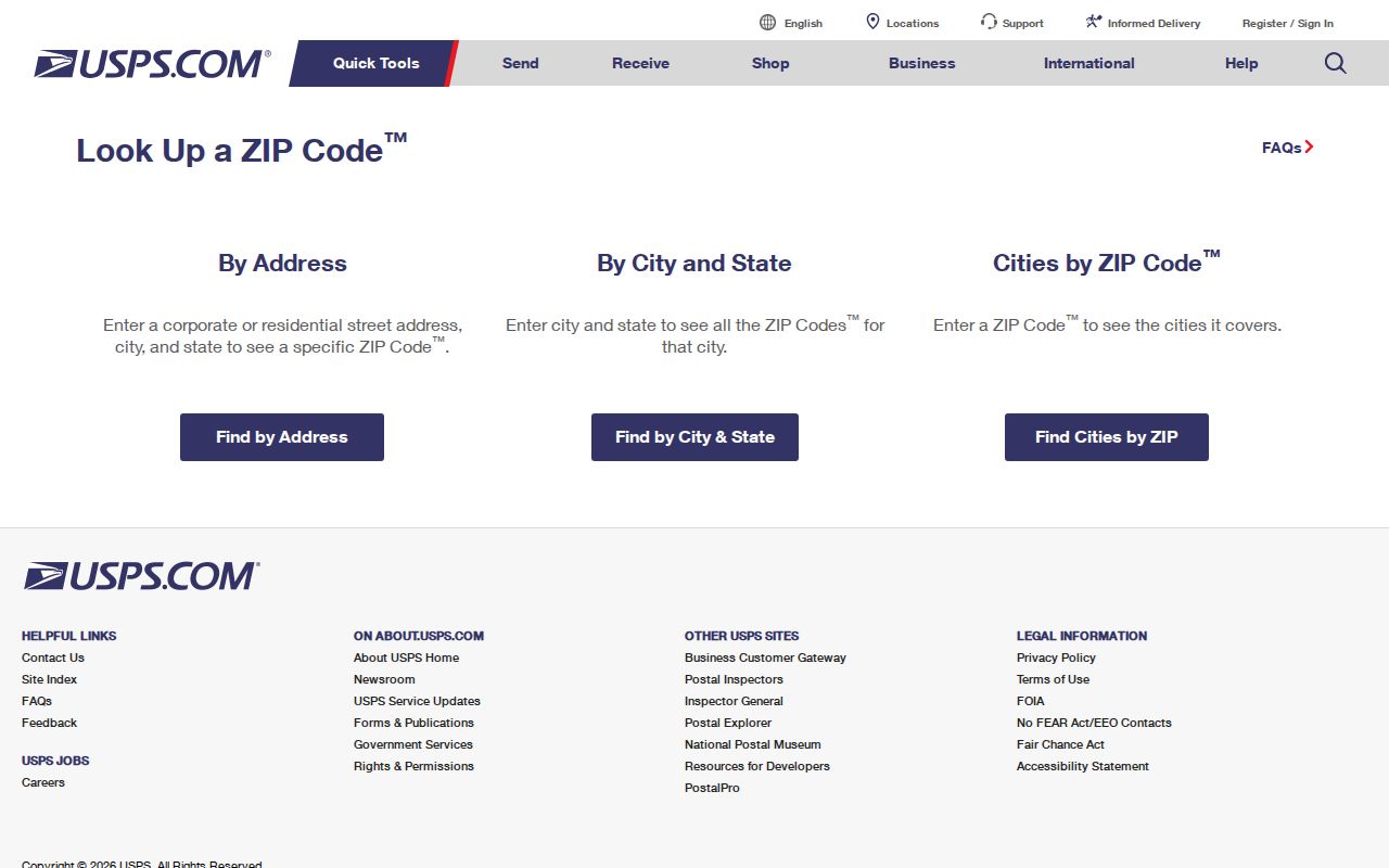
The captured screen shows the postal tools that separate a valid delivery label from a claim about a resident or city boundary.
Redmond ZIP 98052 Context
City materials most closely associate 98052 with incorporated Redmond residents. The official Redmond Post Office is listed at 7241 185th Ave NE, Redmond, WA 98052-9998. That makes 98052 the strongest postal starting point for a city record, but not a final boundary decision. ZIP polygons and city lines serve different systems.
Check an exact address in USPS. Then place it in Parcel Viewer or iMap and note the city or unincorporated label. If the question concerns a permit, police event, land-use action, or city service, that mapped jurisdiction decides which office to contact. A postal station or mailing label cannot settle the issue by itself.
Redmond ZIP 98053 Boundary Trap
The City of Redmond explicitly warns that 98053 can be unincorporated King County even though the mailing address says Redmond. Its service FAQ gives a practical example: Recology serves 98052, while King County Waste Management serves 98053. Service areas are not universal legal boundaries, but this contrast is a useful prompt to inspect the map.
Do not route a public-record request from the ZIP alone. Resolve the street address to a parcel and save the jurisdiction shown on the dated map. County offices may hold the police, permit, election, tax, or land-use record for a 98053 site outside the city. This geography is one of the most important reasons a Redmond mailing search can return the wrong custodian.
Find Redmond Records Within a ZIP
No official local portal inspected provides a simple public list of everyone in one ZIP. The Assessor's direct ZIP filter was not confirmed. Parcel Viewer accepts an address, parcel identification number, or condominium name. iMap exposes a ZIP Codes layer, but its basic search is based on address, parcel, intersection, or place name. King County's voter tool is a self-lookup, not a ZIP-wide roster.
- Enter the complete street address in USPS and preserve the standardized result.
- Search the address or parcel in King County iMap, then turn on ZIP and city or unincorporated layers.
- Open the parcel report only when ownership or assessment facts answer the research question. An owner is not proof of occupancy.
- Use the correct city or county custodian for the record. Statewide voter data is regulated, and the county tool is for self-lookup.
- When the work narrows to one road, use the Redmond street directory for street-level methods.
Keep the postal result, parcel number, map date, layer names, and jurisdiction together. That small source log prevents a Redmond ZIP code directory search from turning mailing geography into an unsupported identity claim.
Map Redmond ZIP Layers in iMap
King County iMap can display ZIP codes alongside parcels and city or unincorporated boundaries. Its basic search takes an address, parcel number, place name, or street intersection. Select the result, turn on the relevant layers, and record the map date. Per-layer dates can differ.
Review the official iMap access page before mapping a ZIP boundary.
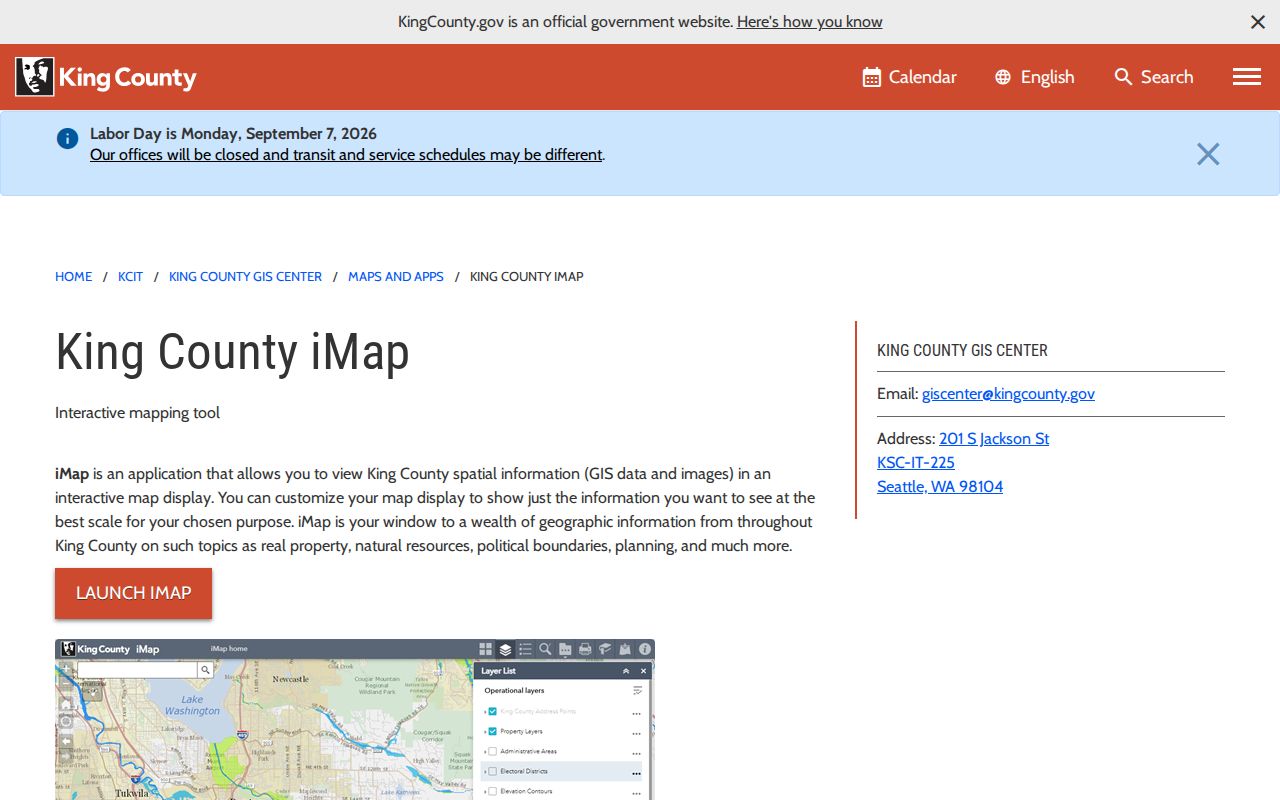
The image documents the GIS entry point used to compare Redmond delivery geography with parcels and government boundaries.
Map lines are evidence of administrative geography, not a list of people. A parcel can have several address points, and several address points may join to one parcel. County address points draw from E-911 data, while USPS ZIP+4 information is refreshed monthly. Save the exact layer and date instead of treating the view as timeless.
Redmond ZIPs 98073 and 98074
Official materials associate 98073 with Redmond PO Box and mailing geography. A box receives mail, but it does not identify a physical home, occupant, or city jurisdiction. USPS scheme material groups 98073 with Redmond 98052, while the exact station assignment was not separately confirmed. Search the street address when physical location matters.
The 98074 reference is even more limited. A time-specific state health planning table described Sammamish/Redmond administrative geography, and USPS scheme material grouped it with Redmond 98053. Neither source justifies calling every 98074 address Redmond. Verify its current mailing city and map the parcel. No Redmond-specific ZIP split or realignment history was found, so a present boundary should not be narrated as evidence of a past change.
Redmond ZIPs Versus City Limits
A ZIP code is built for delivery, while a city line controls municipal jurisdiction. Redmond's 98053 mismatch shows why those two shapes cannot be swapped. Planning neighborhoods form a third geography, parcels a fourth, and service areas may add more. The right label depends on the question being asked.
- ZIP and ZIP+4
- A ZIP identifies a broad delivery area; four added digits narrow a delivery segment.
- PO-box ZIP
- A code used for post-office boxes, not a physical-residence boundary.
- Unique ZIP
- A code assigned to one high-volume organization; none was confirmed for Redmond.
- Carrier route
- A postal delivery path that may cross boundaries and does not identify residents.
- Situs address
- The physical parcel address, distinct from an owner's mailing address.
The legal description, parcel, situs address, mailing address, postal result, and historic locality can all differ. Keep each one in its own field. For older research, preserve rural routes and original spellings, then compare telephone books, city directories, maps, deeds, and annexation dates.
Trace Older Redmond Mailing Clues
A 1944 Redmond telephone listing may have no ZIP at all. A 1949 entry may use a rural route and box, while a 1976 Polk volume groups Bellevue, Kirkland, and Redmond. Forcing those records into a present postal form can hide the right result. Copy the old wording first, then map it forward.
KCLS supplies Sanborn maps, census sources, genealogy databases, and newspaper microfilm. The Redmond Historical Society adds local newspapers, photographs, oral histories, yearbooks, and obituaries. Washington State Library and Digital Archives can fill other gaps. A library visit, email or phone question, archive appointment, or mail request may be necessary when online search fails.
For current ambiguity, ask USPS about delivery and the city or county GIS office about the boundary. A Washington Public Records Act request may seek an existing map, address standard, or service-area record. Redmond does not promise custom mapping, so request an existing record with the exact address and date.
Normalize a present Redmond address before searching. The city's 2024 standard uses uppercase text, standard suffixes, no commas, and no punctuation except the ZIP+4 hyphen. Examples of recognized roads include REDMOND WAY, WILLOWS RD, AVONDALE RD, BEL RED RD, and OLD REDMOND RD. Keep the original form too. A historic spelling or rural route may be the only version that appears in an old phone book, newspaper, deed, or map.
Address points also need care. King County derives them from E-911 data and joins them to Assessor parcel numbers. One parcel may hold several points, while several points can connect to one parcel. Some parcels have several structures, and others have none. The address layer is good for finding the right polygon, but it does not produce an occupant list or show that mail reached a named person.
Record the result as a set of separate facts: postal address, accepted mailing city, five-digit code, any ZIP+4, parcel number, situs address, incorporated or unincorporated status, map source, and date checked. If any field conflicts, keep the conflict visible. The mismatch often explains why a search failed or why a record sits with King County instead of Redmond. It is safer than forcing all systems into one label.